GIS and Mapping
RGA’s in-house geographic information systems (GIS) and mapping team uses state-of-the-art technology to collect site data that can be graphically projected and presented in cost-effective, easily interpreted formats. Our team’s expertise allows us to support clients with planning and decision making to accomplish project goals. Valued end-products include viewshed analysis, sensitivity and probability models, 3D modeling and analysis, drone photography, and survey mapping.
- Viewshed analysis
- Sensitivity and probability models
- 3D modeling and analysis
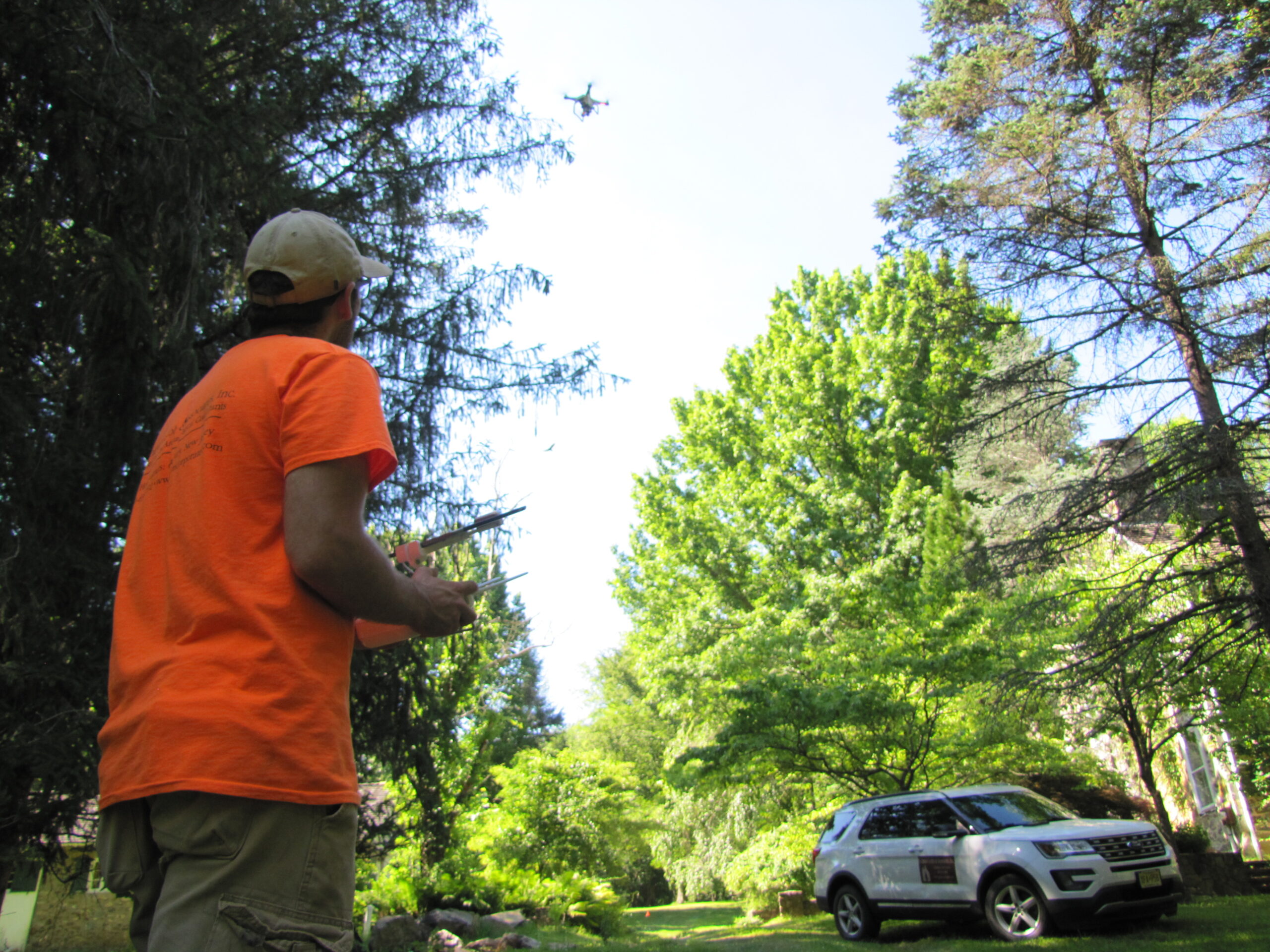
- Drone photography
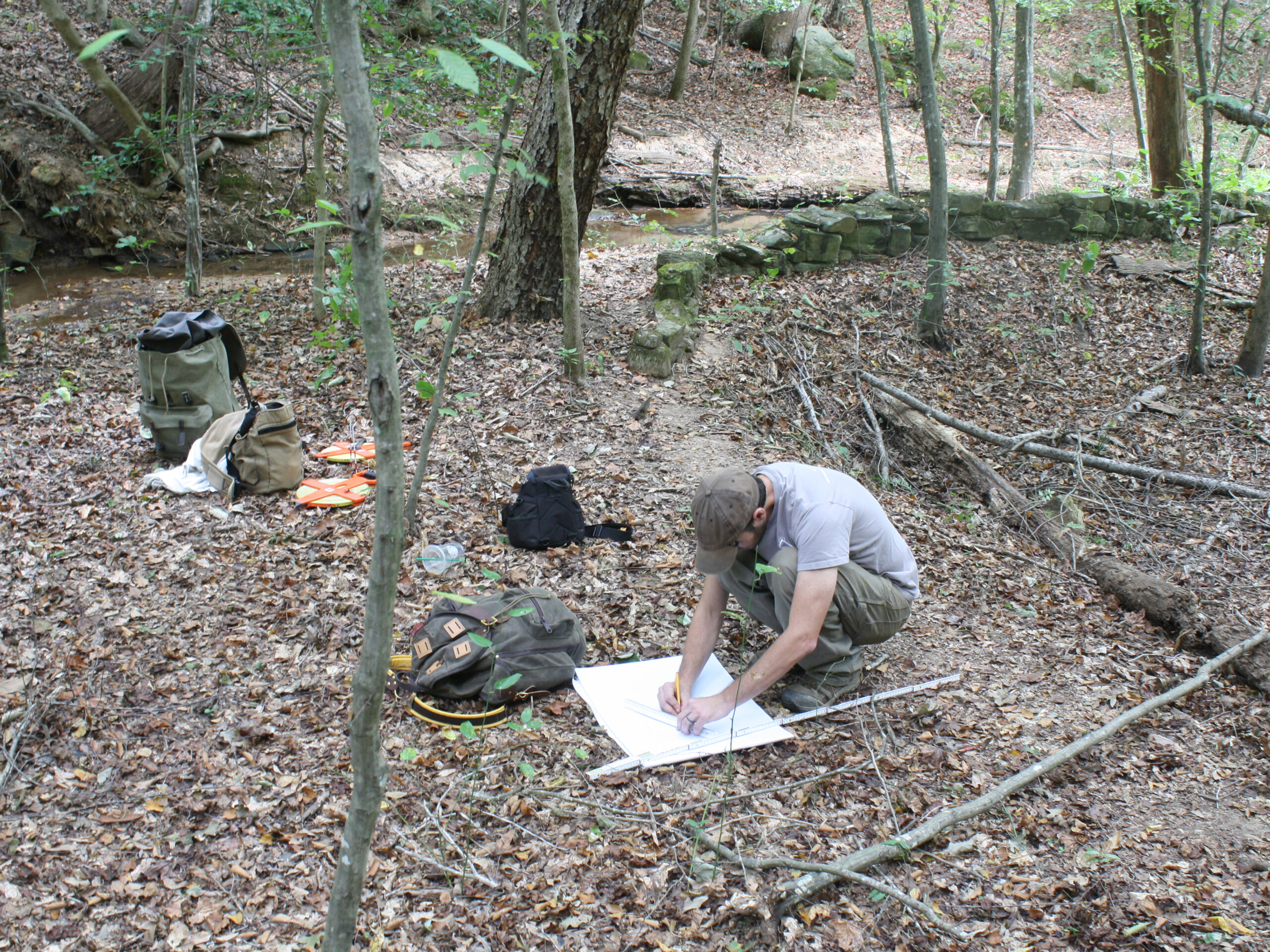
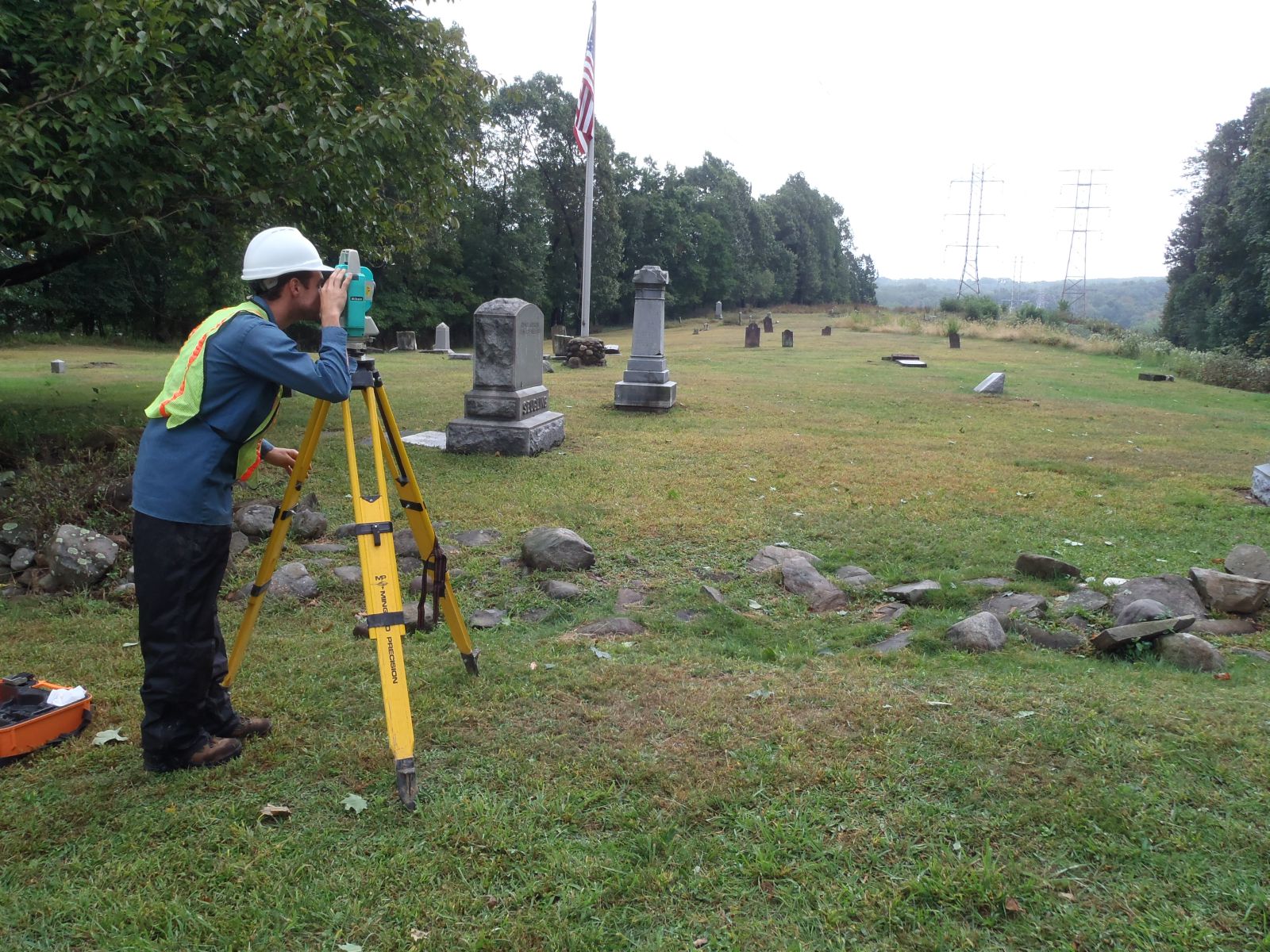
- Survey mapping


